Forestry Survey with Drones in the UK: Capabilities, Challenges and Solutions
Forests and woodlands cover around 13% of the UK’s land area, and their sustainable management is crucial for biodiversity, carbon capture, and the timber industry. Traditional forestry survey methods, such as ground based inspection and manual sampling, are often slow, labour-intensive and limited in scope. This is where drone technology for forestry surveys in the UK has become a game changer. Using aerial platforms, forestry professionals can gather accurate, high resolution data in a fraction of the time, enabling smarter woodland management and environmental planning.
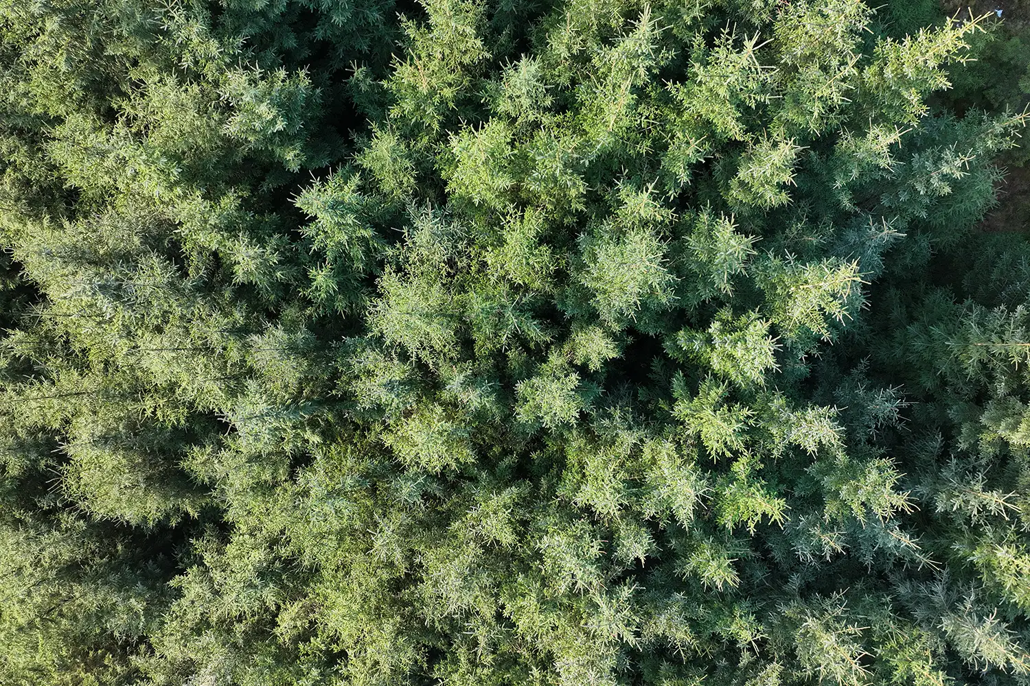
Capabilities of Forestry Survey Drones
Modern forestry survey drones are equipped with advanced imaging payloads, from high resolution RGB cameras to LiDAR sensors and multispectral systems. These capabilities allow for:
- Tree Density Mapping: Accurately measure forest stand density and distribution
- Health and Stress Detection: Multispectral imagery can reveal early signs of disease, drought stress or pest infestation
- Canopy Height Models: LiDAR enables precise 3D models of tree height and canopy structure
- Habitat and Biodiversity Assessments Aerial imagery helps monitor species composition and habitat fragmentation
- Efficient Timber Volume Calculations High accuracy 3D mapping supports harvest planning and sustainable logging
These capabilities deliver a cost-effective, scalable way to survey large areas of woodland, providing insights that were previously difficult or impossible to capture.
Common Challenges in Forestry Drone Surveys
While the benefits are clear, forestry survey drones in the UK face several challenges:
- Dense Canopy Cover: Standard cameras may struggle to capture ground-level data beneath thick woodland
- Weather Limitations: The UK’s variable climate, including frequent rain and wind, can ground drone operations or reduce data quality.
- Regulatory Compliance: Operating drones in woodland environments often requires permission from the Civil Aviation Authority (CAA), especially in proximity to protected areas or private land
- Battery Limitations: Covering large forestry estates requires drones with extended flight times or carefully planned missions
- Data Management: Large LiDAR or multispectral datasets require specialist processing to extract actionable insights
Drone Solutions for Forestry Survey Challenges
Innovative solutions are helping forestry professionals overcome these obstacles:
- LiDAR Technology: Penetrates canopy cover to deliver accurate ground elevation and tree height data
- Weather Resistant Platforms: Rugged drones designed for wet and windy UK conditions ensure more consistent survey opportunities
- BVLOS (Beyond Visual Line of Sight) Operations: Emerging permissions from the CAA are enabling extended range flights, ideal for surveying large forest tracts
- Advanced Battery Systems: High capacity batteries and rapid charging solutions reduce downtime in the field
- Cloud Based Data Processing: Secure platforms allow survey teams to process and share data quickly, turning raw imagery into actionable forestry insights
The Future of Forestry Drone Surveys in the UK
As the UK seeks to expand woodland cover and meet ambitious climate targets, drone technology for forestry management will play a vital role. From supporting government reforestation programmes to helping private landowners optimise timber yield, drones provide a powerful, eco friendly alternative to traditional survey methods. For organisations involved in woodland management, partnering with a specialist UK drone survey company ensures safe, compliant and data driven operations. With the right drone solutions, forestry surveys can become faster, more accurate and more sustainable supporting the long term health of the UK’s forests.