Unlocking the Potential of Drone Technology for Peatland Survey in the UK
Peatlands cover around 10% of the UK’s land area and store more carbon than all other vegetation types combined. Healthy peatlands act as vital carbon sinks, regulate water quality, and provide habitats for rare wildlife. Unfortunately, many peatlands are degraded due to drainage, overgrazing, and erosion. Accurate peatland survey and monitoring is essential to guide restoration projects, measure carbon storage, and inform climate change policies.
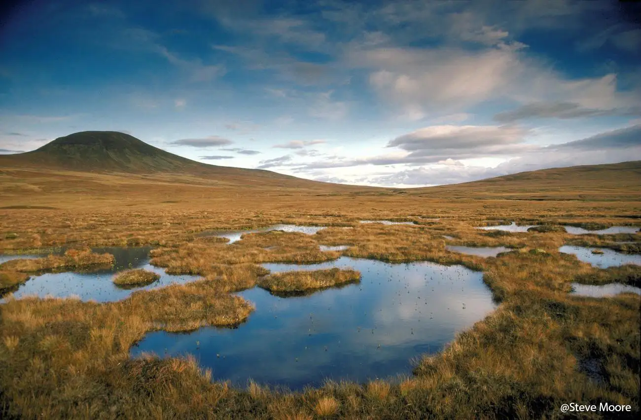
Challenges in Traditional Peatland Surveys
Surveying peatland is notoriously difficult. Much of the terrain is remote, waterlogged, and dangerous to traverse on foot. Traditional ground surveys are slow, labour intensive, and often limited to small sample areas. Satellite imagery provides broader coverage but lacks the resolution needed for detailed ecological mapping and hydrological analysis. These limitations make it hard for conservation groups, landowners, and government agencies to get the accurate, repeatable data they need.
The Role of Drones in Peatland Survey
- High resolution mapping: Create orthomosaics and 3D terrain models with centimetre-level accuracy
- Vegetation analysis: Use multispectral imagery to identify vegetation health, sphagnum moss cover, and areas of bare peat
- Hydrological insights: LiDAR and thermal imaging reveal water flow, drainage ditches, and blocked gullies
- Safe and efficient operations: Reduce risks to survey teams working in remote, boggy environments
- Repeatable monitoring: Enable long term tracking of restoration efforts with consistent datasets
Common Problems in Drone Peatland Survey
While drones transform peatland monitoring, several challenges remain:
- Weather dependence: The UK’s frequent rain, fog, and high winds can ground UAVs
- Data processing demands: Large datasets require advanced software and computing power
- Regulatory compliance: Flying drones in remote areas still requires Civil Aviation Authority (CAA) permissions and risk assessments
- Battery limitations: Peatlands often cover vast areas, meaning endurance and flight planning are critical
Practical Solutions and Best Practices
While drones transform peatland monitoring, several challenges remain:
- Weather dependence: Use detailed forecasts and flexible scheduling to maximise flight opportunities
- Efficient workflows: Combine automated flight planning with cloud-based data processing for faster turnaround
- CAA-certified pilots: Ensure compliance with UK drone regulations to avoid costly delays
- Long-range drones: Select UAV platforms with extended battery life or modular swappable batteries to cover larger sites
- Data integration: Deliver results in GIS compatible formats to support decision-making by conservation groups and government agencies
Driving UK Peatland Restoration Forward
Drone peatland survey in the UK is rapidly becoming a cornerstone of environmental monitoring. By providing accurate, cost-effective, and scalable data, UAVs support peatland restoration, carbon capture initiatives, and biodiversity conservation. For land managers, researchers, and policymakers, drone technology is no longer optional, it’s essential to tackling the climate and ecological challenges of our time.